News
Short updates from the sea-level map and related work — what changed, what’s next, and why it should feel a little easier to use.
July 2026 — Mean Sea Level, country by country
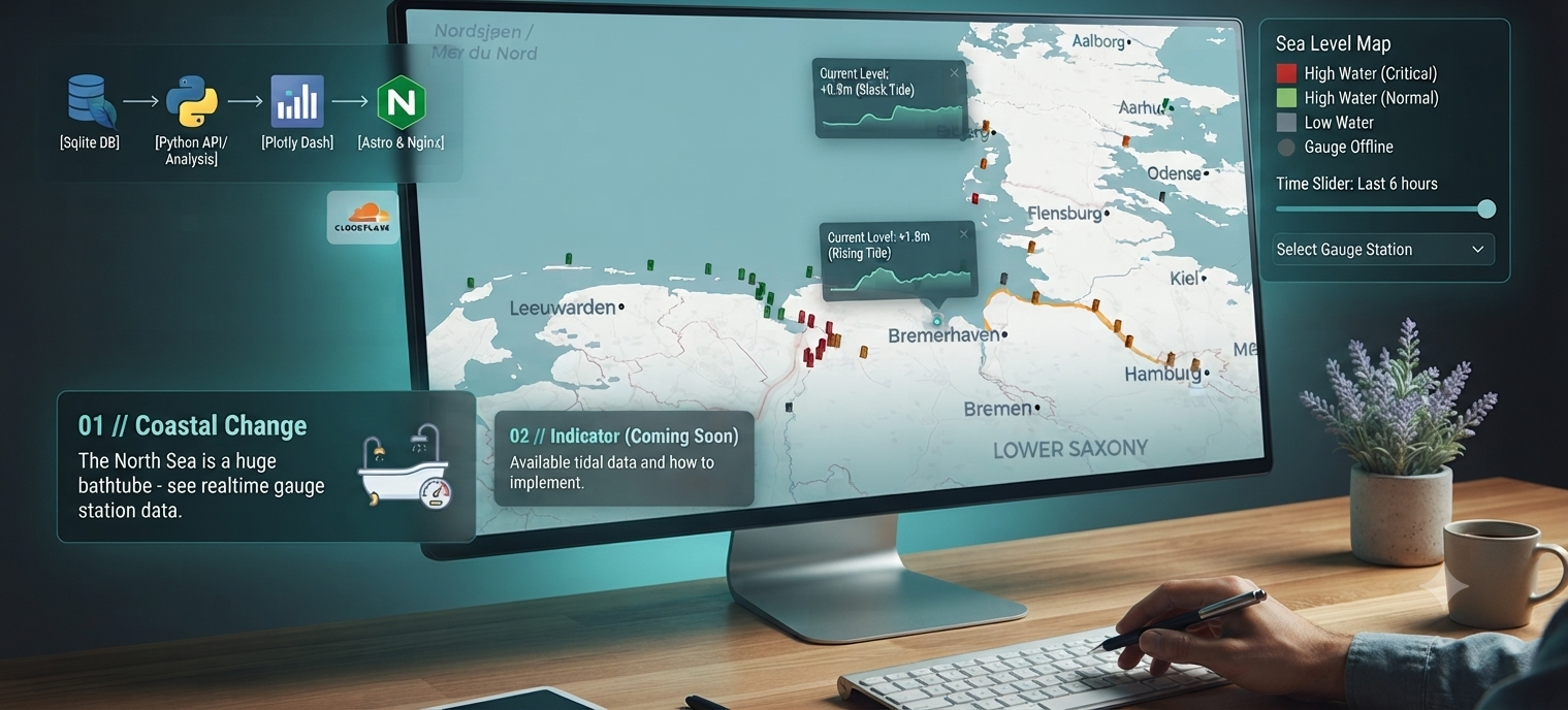
I’m rolling out Mean Sea Level (MSL) as the reference for the interactive sea-level map — not all at once, but peu à peu for every country already shown on the map: Germany, the Netherlands, Belgium, France, the United Kingdom, Denmark, and Norway.
Until now, many stations reported water levels against local gauge zero. That works fine for a single harbour, but comparing coasts across borders meant juggling different datums in your head. Referencing values to MSL makes heights comparable at a glance and should make the map more convenient for everyday checks — whether you’re reading one station or scanning a whole stretch of coast.
The switch happens gradually as each country’s offsets and station metadata are verified. If a region still looks “gauge-zero native,” it simply hasn’t been migrated yet — it will follow. Open the map to see the latest state as coverage expands.