The Baie de Somme is a compact case study where historic coastal engineering meets a living estuary. A guided walk from Le Crotoy makes the flushing lock, mudflat habitats, and present-day shore defense readable in one landscape — less a geological lecture than a field note on structure, ecology, and continuous management.
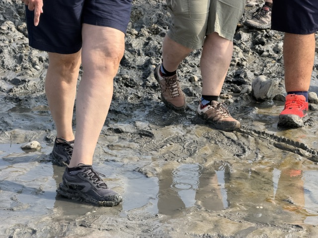
01 // Historic infrastructure
Flushing locks and Napoleon III
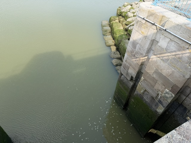
Harbour access at Le Crotoy depends on a flushing basin (bassin de chasse) and lock works dating to 1865 under Napoleon III. The idea is practical and still relevant: store water, then release it to flush sediment from the channel and keep the harbour navigable against the bay’s natural siltation.
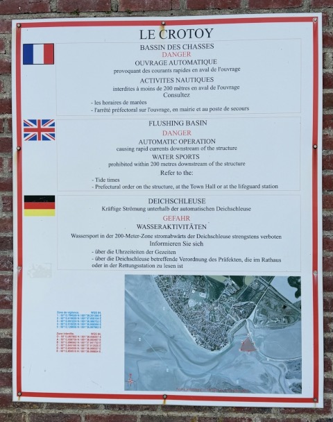
On site, trilingual safety panels remind visitors that the structure operates automatically and can create strong currents — a small lesson that “heritage” infrastructure is also live coastal machinery.
02 // Shore defense
Mitigating severe erosion
Maintenance of these foundations is ongoing. Along vulnerable stretches such as the western sea wall of Le Crotoy, scouring can reach deep below the structure — reported locally to about 17 m. Historic masonry and modern shore protection therefore sit on the same problem: keep access and settlement safe without pretending the estuary will stay still.
03 // Habitats
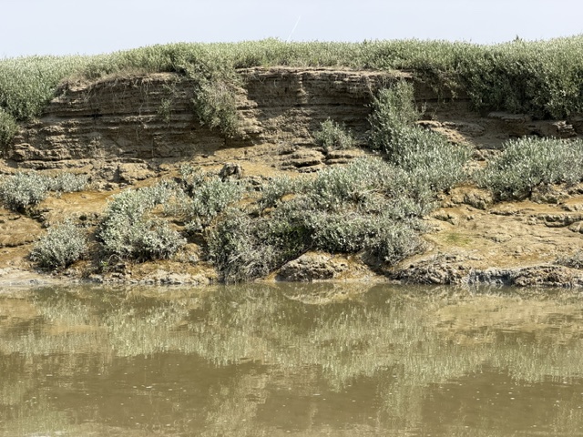
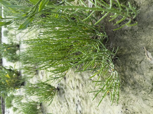
Avian haven and salt-marsh flora
The bay is a major ecological sanctuary: staging and nesting ground for migratory and resident shorebirds, and a mosaic of intertidal habitats shaped by every tide.

04 // Synthesis
The challenge of coastal morphodynamics
Coastal morphodynamics in places like the Baie de Somme are a permanent balancing act. Historic flushing basins and modern shore protection both show that marine and estuarine balances are rarely “solved” once and for all. They ask for continuous, adaptive management — reading the next tide as carefully as the last construction drawing.
Field note from a guided visit to Le Crotoy. Images from the walk; structure details from on-site panels and local explanations.